Monday is Friday the 13th - my 112th
Birthday!! To explain this, I was born
on Friday the 13th. Unfortunately, it
was in May. The weekend around May the
13th was often Mother’s Day Weekend.
Now, I have nothing against Mothers.
I had a loving Mother!
 |
| My Mom, Theresa Unruh in 1935 |
But, my
family was big on celebrating Mother’s Day.
So, we’d go off to Grandma’s, or some Aunt’s place, and there’d be a big
gathering, with gifts being exchanged to all the Moms. Somewhere along the line, I’d hear, “Oh! Jonathon!
Here’s your Birthday present...”
Gee, Thanks: A pair of socks.

So, around age 8 or 9, I decided to celebrate ALL Fridays
the 13th as my birthday… I get at least
one every year, some years I get two, and on a great year, I’ll celebrate three
birthdays. My 100th was quite the
blow-out . . . Other Fridays the 13th
didn’t go so well for people.

I took Alaska Highway 1 south out of Anchorage. The road starts out as the “Seward Highway”
until the junction with Highway 9, when AK-1 becomes the “Sterling Highway” and
continues to the end of the spit in Homer.
Since I was in Alaska, I am spending a few days visiting an old college
friend who I’ve known since our undergraduate days in the Fisheries and Wildlife Program at
Oregon State & haven't seen for years. Her place was off the Diamond
Ridge Road above Homer, and it was time to visit.

I arrived to find that the local wildlife didn’t seem too
concerned about visitors.

In fact, they
seemed pretty darned curious!

Al gave me a nice tour of the local area, as well as a stop
for brew or so at the Salty Dawg. From
Skyline Drive, you get nice views of Kachemak Bay and the town.
 |
| Homer Spit |
 |
| Grewingk Glacier across Kachemak Bay |
In my time here, I checked out a few places for birding,
and to see what the country looked like.
One of the spots was the Effler Fen.
This 18-acre piece is owned by the Kachemak Heritage Land Trust, and is
along the upper reaches of Bridge Creek, a tributary to the Anchor River. Gene and Mim Effler were among the first
homesteaders in the area, and Gene had a longtime dream of creating a trail for
the Homer community on a portion of their original homestead.
 |
| I'm pretty sure this is Canada goldenrod Solidago canadensis |
The property is located in Homer’s Bridge
Creek Watershed Protection District, the source of Homer’s drinking water. There is a short, raised boardwalk trail and
viewing platform that takes you out into the fen.


Another great walk not far from a short stop at the Fen,
is at the Carl E. Wynn Nature Center.

The trail and visitors’ center is owned by the Center for Alaska Coastal Studies, and is open 10-6 daily during summer with daily guided
hikes highlighting wildflowers, forest ecology, area history, views of the bay,
and the many uses of native Alaskan plants. Self-guided hikes available, including a
marked loop with a trail guide.


This is a migration corridor for moose and
black bears, as well as a birding hot spot with a variety of habitats for good
diversity of the songbirds in the area.

There is a User Fee of $8/person, $7/seniors (60+), $5
for youth under 18, $25 family rate. This fee is charged to support CACS
educational programs.

I enjoyed seeing a flock of White-winged Crossbills
foraging in the tops of the spruce trees on a beautiful blue-sky morning.

Both the Sitka and the black spruce appear to
have lots of cones this fall, so there may not be much of a ‘finch’ flight in
the Pacific Northwest this fall. Hard to
say.

I was intrigued by a lot of the small flowers and berries
along the way, and enjoyed the ripe wild raspberries.
 |
| Cloudberry or Nangoon - Rubus arcticus |
The Center has provided some informational signage, as
well as building a nice network of trails.
 |
| Yes! Sweat the Small Stuff! |
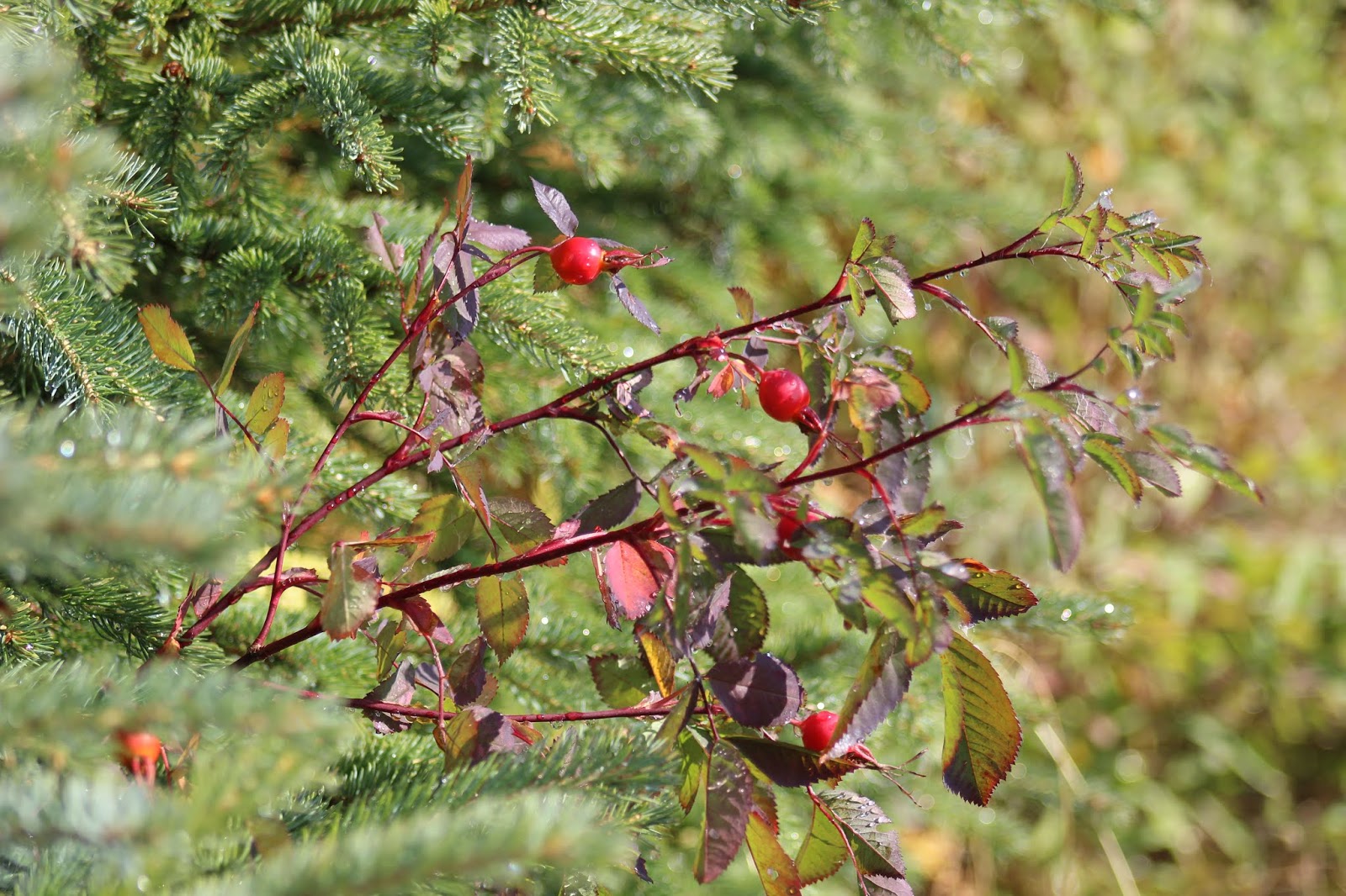 |
| Prickly Rose Rosa acicularis |

 |
| Devil's Club was common; I avoided kicking into it . . . |
 |
| Incorrect sign - the Raspberry is R. arcticus. Ribes laxiflorum is a 'way different plant. |
While I was kneeling down at one spot to photograph the vegetation, I heard the beating wings of a flushing grouse, and thought “Oh, No!” figuring that I’d lost my chance to see a Spruce Grouse. When I lifted my head, though, the bird was sitting in a Sitka Alder tree right above me!
 |
| Yay! ABA Life Bird No. 655! |
I followed several of the trails, including one called
the “Moose Meander” which went down past Bridge Creek.

As I crossed the creek, I heard the scrunch
of brush, and noticed a pair of brown ears at eye level, which turned out to be
those of a cow moose.

I backed away
quietly, until I was back on ‘my’ side of the stream, before she saw me. But, she showed little interest, and kept on
browsing on the willows.

A smaller mammal was busy collecting spruce cones, and
had quite a pile of them in its midden.

The “Red” Squirrels here are quite grey.
 |
| Tamiasciurus hudsonicus |
Monday was a nice day, so I checked out the Alaska Department
of Natural Resources’ Anchor River Recreation Area. I walked
from the parking lot, north toward the mouth of the river, and looped back.
From here, there were views of Mount Iliamna, and in the
far distance was the Mount Augustine volcano, whose last eruption ended in
March 2006. |
| Common Mergansers |
 |
| Mount Iliamna |
 |
| That bump 'way out there is the top of a 1,260 meter tall volcano! |
Just above the river were a number of houses built right
up to the edge of the bluff. I’m
guessing that as ‘self-reliant’ and independent that Alaskans are, they’ll
still demand that Government bails them out when an earthquake or mudslide
pitches their houses into Cook Inlet . . .


On Tuesday afternoon, I walked the trail down Diamond
Creek to the mouth and scanned the salt chuck until it began raining.
 |
| A rugged beach at the mouth of the creek |
 |
| Sitka Alder Alnus viridis is the common tree around here |
Wednesday September 18th was my day to head back to the
Lower 48. I was up a bit early, made
certain I was all packed, and was surprised to see a young male Ring-necked
pheasant in Al’s yard!
 |
| Amy
Bragg photo stolen from Craig Medred’s page
|
I read (on the
Interwebs) that the “only breeding population of pheasants in Alaska has
recently (2008?) established itself in the Homer area.” More likely, some local is illegally
releasing them in the area. Certainly,
Alaska Fish and Game isn’t too thrilled with people introducing non-native
species. The 2019-20 Homer Christmas Bird Count tallied 28 of these chickens.

I bade my farewells to my friend, and made my way to the
big city. I again passed through the
area that was burned in the wildfires this summer. Fairly extensive, the Swan Lake Fire burned
167,000 acres, and closed sections of the Sterling Highway back in August.

I caught Alaska Flight 137 from Anchorage to SeaTac. We arrived in Seattle a little early, and
then sat on the runway for over a half-hour, waiting for Alaska to get another
plane out of our gate. Several people
expected to miss their connecting flight.
But, it was good to be home for a while, and have a break from hard-core
birding.
 |
| Must be time to go home - it's raining . . . |
Sept 13 - Cooper Landing eBird Checklist is Here
Sept 14 - Homer Beluga Lake Overlook eBird Checklist is
Here
Sept 15 - Homer eBird Checklist is Here
Sept 16 - Effler Fen eBird Checklist is Here
Sept 16 - Wynn Nature Center eBird Checklist is Here
Sept 16 - Anchor Point eBird Checklist is Here
Sept 17 - Diamond Creek Gulch eBird Checklist is Here
Sept 18 - Homer eBird Checklist is Here

No comments:
Post a Comment